Introduction to the San Gabriel Mountains and Valley Geology
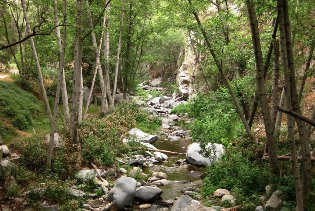
San Gabriel Mountains National Monument was established on October 10, 2014 with Mount Wilson being the local highest peak at 5,713 ft. The San Gabriel Mountains are in effect a large fault block that was uplifted and then dissected by numerous rivers and washes. The southern foothills are the feeding points of the Arroyo Seco, a branch of the Los Angeles River running all the way to the Pacific Ocean.
The local mountains contain both metamorphic and igneous rocks that date back over two billion years. During the rainy season the earth shaken rocks erode and are washed down into the basin creating an alluvial fan full of porous rock and sand sediment. Because the top layer of soil dries quickly native plants have adapted to grow deep reaching roots where limited water exists. The distinct soil establishes a unique plant ecosystem acting as a water storage system full of minerals and oxygen that plants and animals utilize.
There are four main bioregions found along the Arroyo Seco defined as Southern Oak Woodland, Coastal Sage Scrub, Chaparral, and Riparian. Traveling along the Arroyo Seco using this map look for each of these regions as they intersect and collide with one another. How do you think the plants and animals have evolved over time to live in such unique conditions? How do these species adapt to live in a wild urban interface?
Throughout your travel use the following plant, animal, and bird lists to help you identify species of the Arroyo Seco.
Plant List (borrowed from ECNCA)
https://www.ecnca.org/plants/plants_common.php
Animal List: Plant List (borrowed from ECNCA)
https://www.ecnca.org/animals/animal.php
Bird List: Plant List (borrowed from ECNCA)
https://www.ecnca.org/animals/Birds/birds.php
San Gabriel Mountains National Monument was established on October 10, 2014 with Mount Wilson being the local highest peak at 5,713 ft. The San Gabriel Mountains are in effect a large fault block that was uplifted and then dissected by numerous rivers and washes. The southern foothills are the feeding points of the Arroyo Seco, a branch of the Los Angeles River running all the way to the Pacific Ocean.
The local mountains contain both metamorphic and igneous rocks that date back over two billion years. During the rainy season the earth shaken rocks erode and are washed down into the basin creating an alluvial fan full of porous rock and sand sediment. Because the top layer of soil dries quickly native plants have adapted to grow deep reaching roots where limited water exists. The distinct soil establishes a unique plant ecosystem acting as a water storage system full of minerals and oxygen that plants and animals utilize.
There are four main bioregions found along the Arroyo Seco defined as Southern Oak Woodland, Coastal Sage Scrub, Chaparral, and Riparian. Traveling along the Arroyo Seco using this map look for each of these regions as they intersect and collide with one another. How do you think the plants and animals have evolved over time to live in such unique conditions? How do these species adapt to live in a wild urban interface?
Throughout your travel use the following plant, animal, and bird lists to help you identify species of the Arroyo Seco.
Plant List (borrowed from ECNCA)
https://www.ecnca.org/plants/plants_common.php
Animal List: Plant List (borrowed from ECNCA)
https://www.ecnca.org/animals/animal.php
Bird List: Plant List (borrowed from ECNCA)
https://www.ecnca.org/animals/Birds/birds.php